
Drones and Virtual Worlds: Versatile Applications
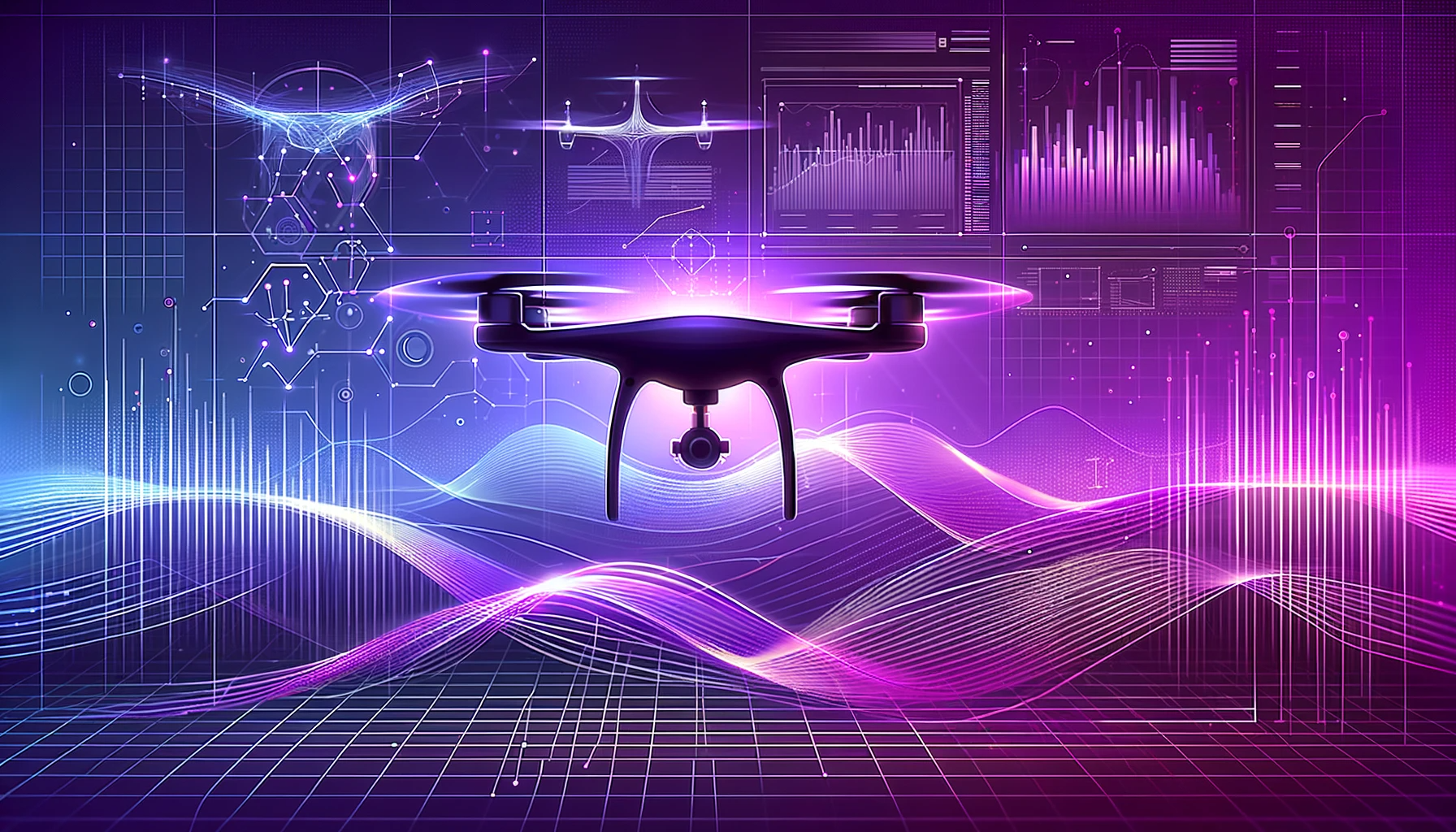
Drone technologies are rapidly expanding in many fields today, and one area where they are gaining traction is the utilization of visual synthetic data. Visual synthetic data refers to artificial imagery obtained through drones equipped with high-resolution cameras and sensors. This technology is being employed in numerous areas, including exploration, mapping, security, disaster monitoring, and even filmmaking. In this blog post, we will examine how drones can be effectively used with visual synthetic data in various domains.
Exploration and Surveillance: Equipped with high-resolution cameras and sensors, drones can be used for exploration and surveillance activities. They can perform tasks such as remote monitoring, target identification, area mapping, and tracking enemy activities. Drones can effectively operate even in challenging terrains due to their maneuverability.
Mapping and Site Inspection: Drones can be utilized for precise mapping and site inspection tasks using visual synthetic data. By capturing high-resolution aerial images, they can map and analyze terrain features, structures, topography, and other vital details. This information plays a crucial role in construction projects, land planning, and monitoring natural resources.
Security and Defense: Drones can be effectively employed for security and defense purposes, especially in monitoring borders, protecting critical facilities, and ensuring public safety. They can detect threats and swiftly respond to incidents using synthetic imagery.
Land Analysis and Natural Disaster Monitoring: Drones can utilize visual synthetic data for land analysis and monitoring natural disasters. For instance, after events like floods, earthquakes, or fires, drones can capture aerial images to assess damages, map changes in the landscape, and aid in directing rescue operations. This allows for quick and effective analysis of disaster-stricken areas and planning of relief operations.
Film and Visual Production: Drones support the use of visual synthetic data in the fields of filmmaking and visual production. They assist in capturing cinematic angles, providing high mobility, and creating aesthetically pleasing imagery. This enables the creation of more impactful and visually rich content.
Drones, when coupled with visual synthetic data, can play a significant role in exploration, mapping, security, disaster monitoring, and visual production. Drones equipped with high-resolution cameras and sensors have great potential in collecting, analyzing, and deploying visual data. These technological advancements can enhance efficiency and unlock new opportunities across various sectors. It is expected that drone technologies will continue to evolve and find broader applications in the future.